


Cisterscapes
Ebrach
Welcome in the monastery landscape of Ebrach
Ebrach monastery, founded as Morimond‘s daughter in the Middle Ebrach Valley, is the oldest Cistercian monastery on the right bank of the Rhine and plays a key role in the order‘s eastern movement. The monastery was one of the wealthiest in Franconia, with the princebishopric of Würzburg as sovereign. Viticulture and silviculture as well as fish farming shaped the monastic cultural landscape in the wooded area of the Steigerwald.
Ebrach monastery, founded as Morimond‘s daughter in the Middle Ebrach Valley, is the oldest Cistercian monastery on the right bank of the Rhine and plays a key role in the order‘s eastern movement. The monastery was one of the wealthiest in Franconia, with the princebishopric of Würzburg as sovereign. Viticulture and silviculture as well as fish farming shaped the monastic cultural landscape in the wooded area of the Steigerwald.
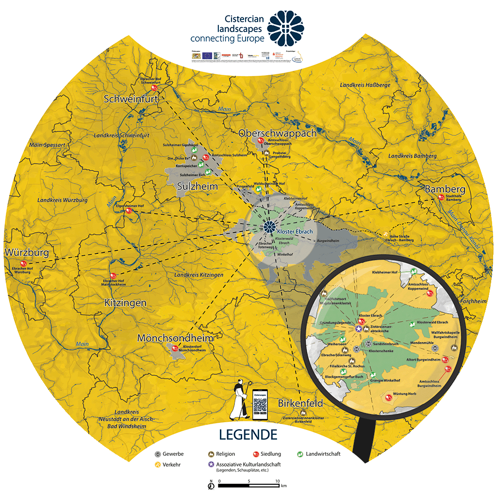
Explore the approximately 600 landscape and settlement traces from 17 landscapes and five countries with the Cisterscapes app. The app includes information, images and audio content on all 17 Cisterscapes sites in Europe. Based on maps, Cisterscapes elements from each monastic landscape can be selected from anywhere to learn more. Or use the augmented reality function on site to discover the Ebrach monastery landscape in 3D.
The best thing to do is to scan the appropriate QR code below or click on the button, or alternatively search for Cisterscapes in the store.
Explore the approximately 600 landscape and settlement traces from 17 landscapes and five countries with the Cisterscapes app. The app includes information, images and audio content on all 17 Cisterscapes sites in Europe. Based on maps, Cisterscapes elements from each monastic landscape can be selected from anywhere to learn more. Or use the augmented reality function on site to discover the Ebrach monastery landscape in 3D.
It's best to download the app right away using the corresponding button or, alternatively, search for Cisterscapes in the Store!
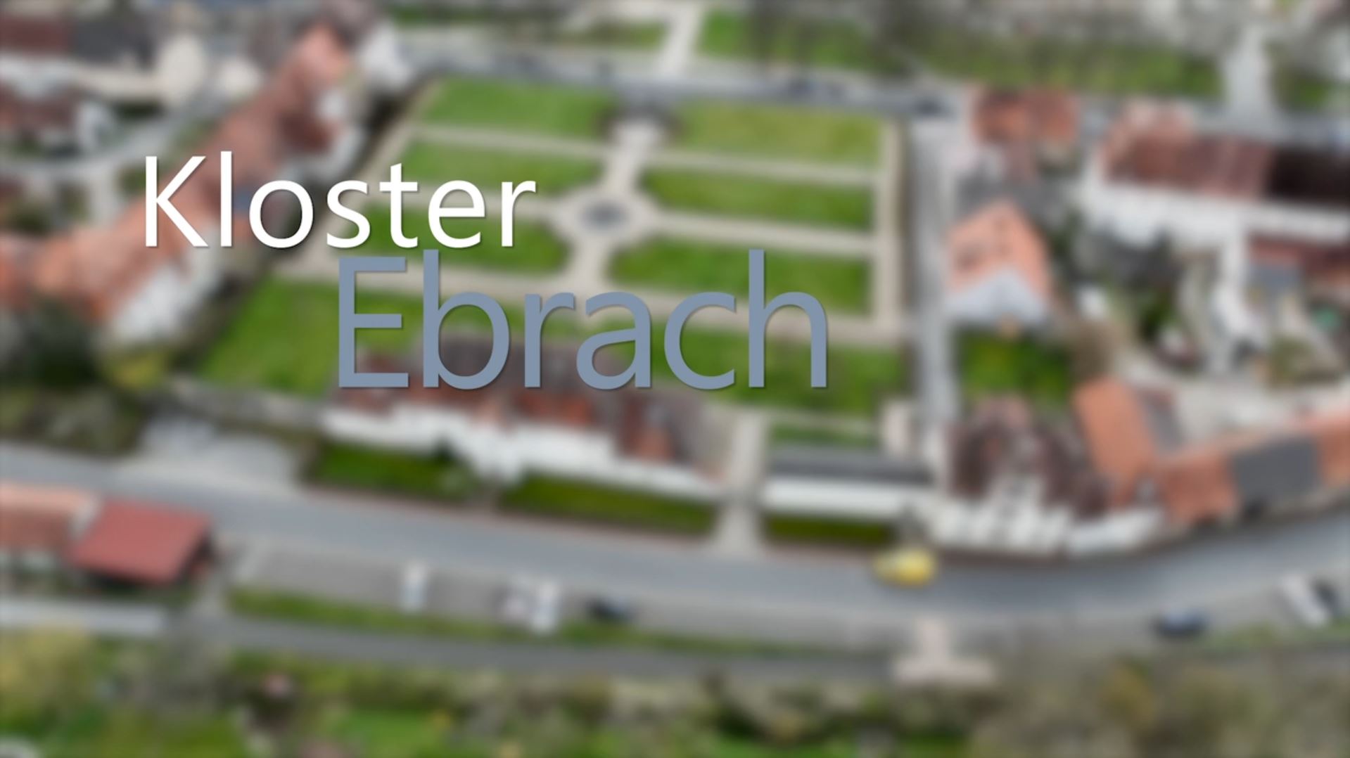
Founded in 1127 as the first monastery on the right bank of the Rhine, the magnificent monastic complex of Ebrach with its accompanying settlement is reminiscent of an absolutist residence in the middst of the Steigerwald.
With the exception of the early Gothic abbey church, the monastic complex was splendidly rebuilt from 1688 to 1791 according to plans by Leonhard Dientzenhofer and Joseph Greissing in a Baroque and late Baroque style. The stately monastic complex with the magnificent gardens and the ”Ebracher Vorstadt” (Ebrach suburb), the farmyard and other buildings of the settlement are reminiscent of a representative capital. After secularisation in 1803, Ebrach developed into a market town. The convent buildings have been used as a prison since 1851.
Da große Teile des ehemaligen Zisterzienserklosters heute als Justizvollzugsanstalt genutzt werden, sind wir verpflichtet, diese Bereiche in den Luftbild-Panoramen, unscharf darzustellen. Wir bitten um Verständnis.
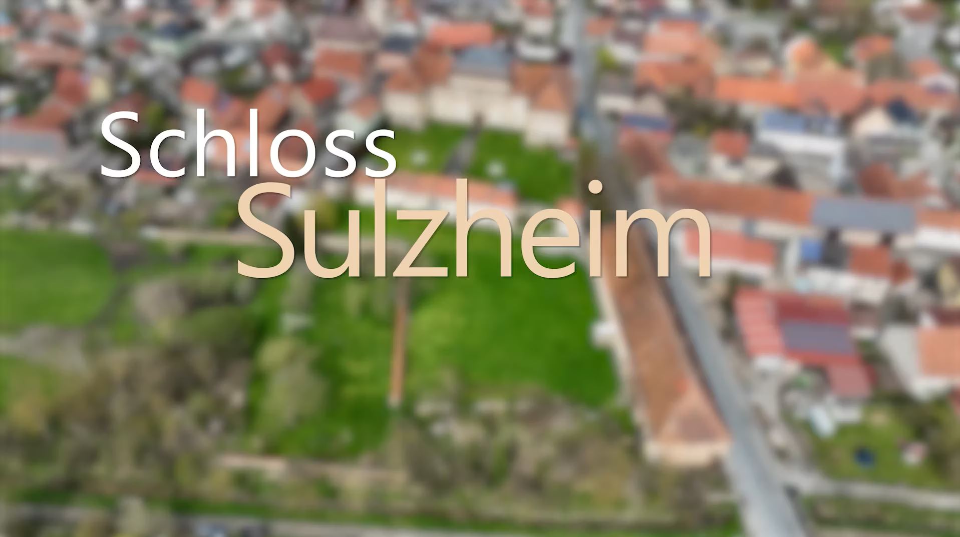
The official palace of Sulzheim is located in the centre of the Mönchseigen, which extends into the foothills of the Steigerwald. It was an extremely stately and representative official residence.
Under Abbot Wilhelm Söllner (1714-41), it was rebuilt as a three-winged complex from 1722-1728, incorporating older buildings. The court, which has remained largely unchanged to this day, is, together with the official palaces in Oberschwappach and Burgwindheim, one of the outstanding srchitectural achievements of Ebrach Abbey. The representative buildings were an expression of the monastery's self-confidence. At the same time, they testified to the upwardly mobile mentality of an abbot with middle-class roots. To the northwest of the lower castle courtyard is a large tree garden, which is enclosed by a sandstone wall.
The church (dated 1616, with an older core and 18th century alterations) was commissioned by Abbot Hieronymus Höllein (1591-1615).
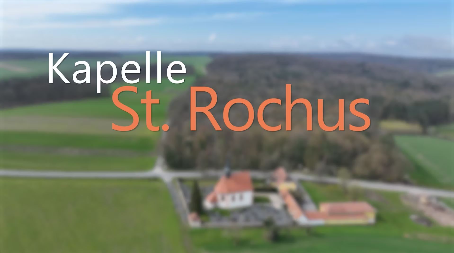
It is located on the road towards Buch about 420 m above sea level. Due to its exposed location, it dominates the Großgressingen clearing. After the severe plague year of 1611, the abbot decided to have a chapel with a cemetery built on the hill next to an infirmary for lepers, which had already existed since 1594. At first, the chapel was only used for funerals; on feast days of its patrons, it also served as a pilgrimage chapel.
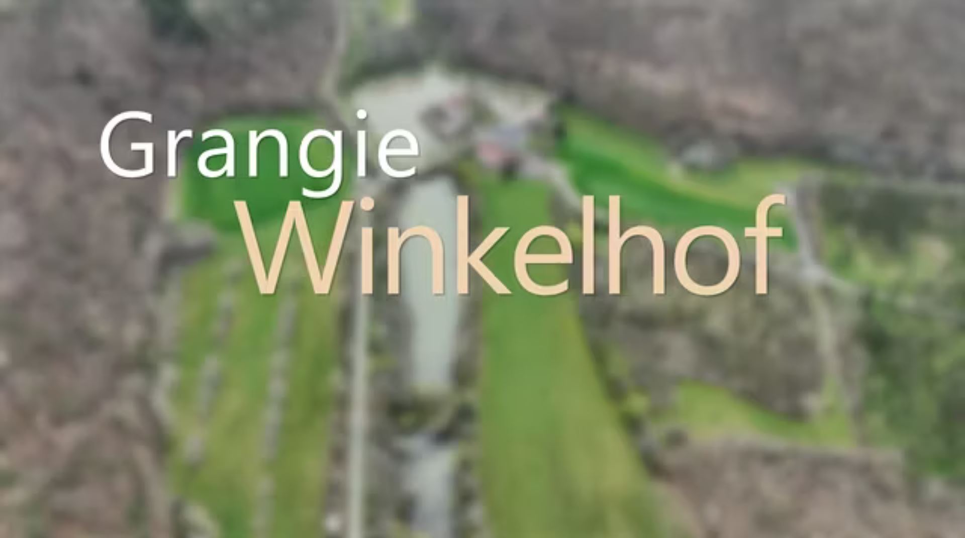
The Winkelhof, which today serves as a forester's lodge, comes very close to an ideal grange. It is surrounded by a pond and fields in the middle of a small clearing.
The pond lies at the bottom of the Steinachbach valley. The grangehouse and its parallel barn date from the 18th century. In 1421, Ebrach acquired the former forest seat Winkele from the Lords of Thüngfeld along with the associated land and rights. The settlement belonging to the seat was located in the Diebsgrund and was subsequently dissolved. From then on, agriculture and cattle breeding were the main focus. A sheep farm was abandoned around 1600 in favour of large-scale livestock farming. A brickyard was also connected to the farm.